
DiBoS: Digital Twin and Beidou Precise Positioning Driven Intelligent Hoisting System with Fast Instant Networking
##plugins.themes.bootstrap3.article.sidebar##
##plugins.themes.bootstrap3.article.main##
Abstract
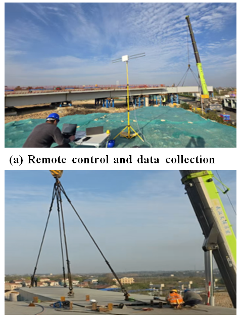
To address the challenges of inaccurate guidance, low efficiency, and high safety risks in highway and bridge hoisting operations, this study develops a digital twin-based intelligent guidance system. Integrating multi-sensor fusion, coordinate transformation, attitude calculation, and 3D visualization technologies, the system realizes simulated construction, on-site guidance, risk early warning, and construction review. This paper comprehensively presents the system design, hardware configuration, and experimental scheme, while implementing in actual hoisting construction (Huangpi-Xinzhou Section of Wuhan Metropolitan Area Ring Expressway). Based on the Unity platform, the system develops a 3D visualized crane construction guidance system. It uses Beidou terminals for precise positioning and collection of hoisting position information, and conducts real-time communication with the 3D software system. Meanwhile, it acquires auxiliary information with sensors such as video cameras and wind sensors (cameras are used to prevent personnel intrusion, and wind sensors are used to obtain wind conditions at the construction site).
Experimental verification under multiple scenarios (open field, obstacle field, harsh weather, dual-crane operation) demonstrates centimeter-level positioning accuracy and real-time risk warning capability.